Moab’s Most Divisive Descent: Porcupine Rim Trail Review
If you don’t understand Porcupine Rim, you won’t enjoy it.
It helped define what mountain biking could be in the American West. And it’s been debated ever since. Why?
Well, it all comes down to feelings about doubletrack.
Porcupine Rim: The Short Version
A legendary 3,000-foot descent from the high desert plateau above Moab to the Colorado River. Part jeep road, part exposed singletrack, a rock-strewn rut at times, and one of the most popular — and polarizing — mountain bike trails in the world.
Should I Ride Porcupine Rim?
Ride it if:
- You’re advanced or expert and comfortable with exposed, technical terrain
- You want a genuine piece of MTB history — and are jazzed to pick lines through jeep road chunder
- You’re riding a full suspension trail or enduro bike
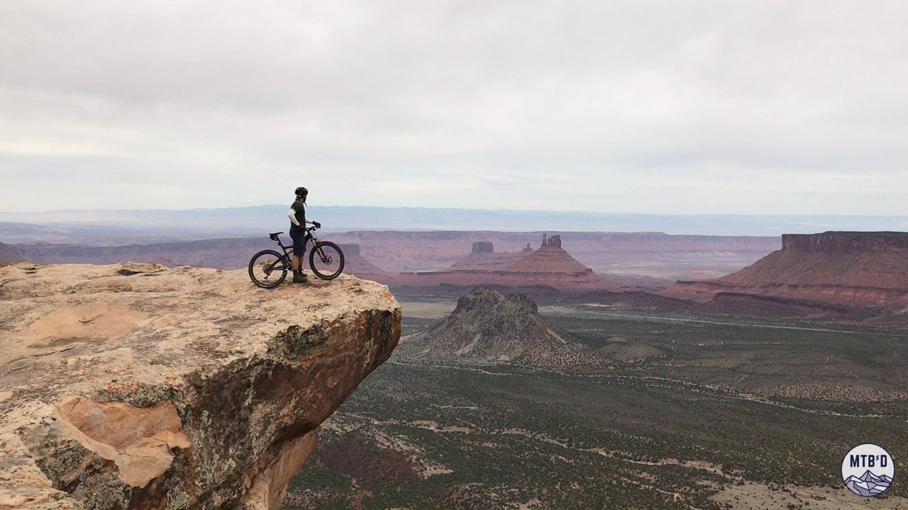
- You appreciate huge (HUGE) views
- You’re shuttling
Skip it if:
- You’re chasing groomed flow
- You’re new to Moab and haven’t calibrated to the terrain
- You’re riding in midday summer heat and too cheap for a shuttle
- You couldn’t care less about a famous old MTB trail
- Exposure near canyon edges isn’t your thing
New to Moab? Start with [Moab Mountain Biking: Where to Begin →]
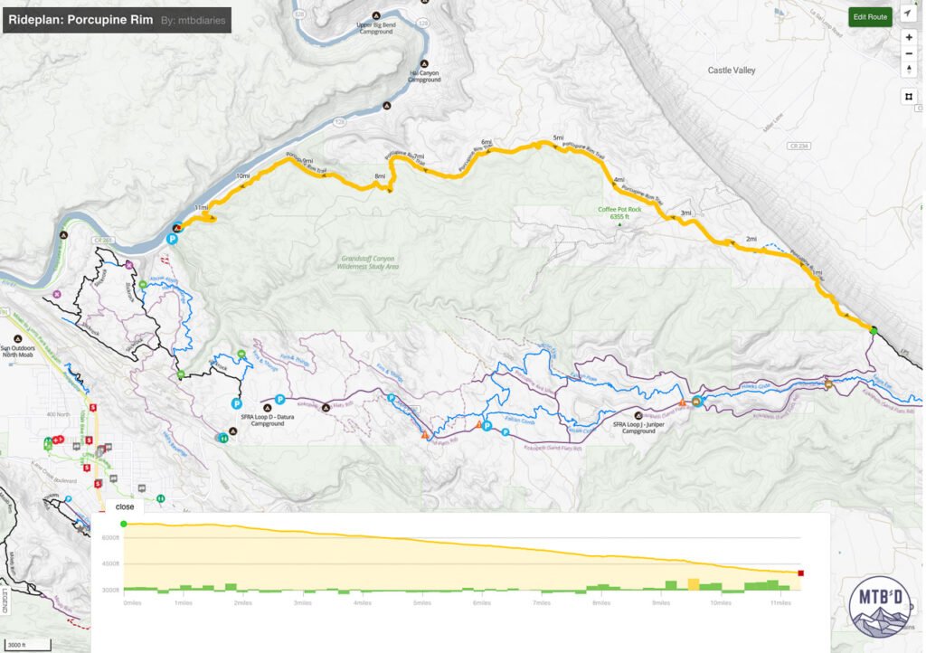
Porcupine Rim Stats
- Distance: ~11 miles point to point
- Elevation Loss: ~3,000 ft (elevation gain ~200 ft)
- Difficulty: Black (double track) to Double Black (lower singletrack)
- Surface: Mixed — doubletrack jeep road, technical singletrack, canyon rim exposure
- Best Bike: Full suspension
- Shuttle: Recommended
- Best Season: Spring and fall
- Destination: Moab
The Trail
Discovery
Mountain biking found Moab in the early 1980s and Porcupine Rim was part of the discovery — a jeep road carved into the plateau above the Colorado River canyon that someone looked at and thought: that goes down.
That goes way down.
In 1985 Mountain Bike Magazine ran Moab on its cover and the pilgrimage began. Riders came from everywhere to test themselves on the slickrock and the canyon terrain, on trails that asked everything and explained nothing.
Porcupine Rim was one of those trails.
It still is.
Landscape
This is not a trail that was designed for mountain bikes.
It was claimed by them.
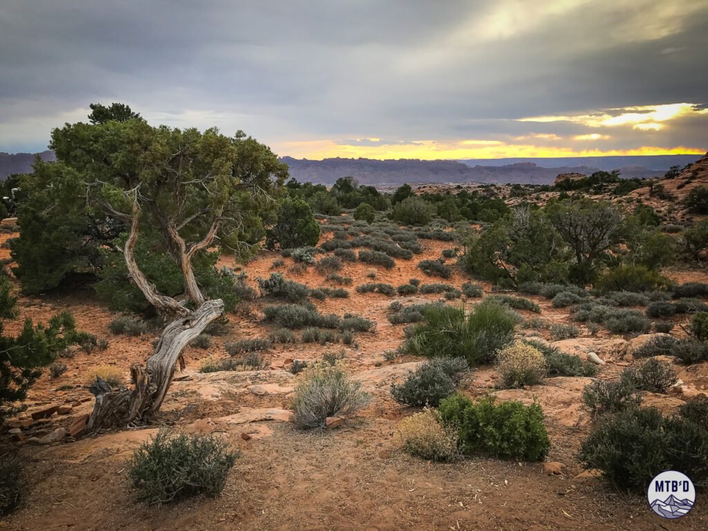
It begins on the plateau above it all. The La Sal Mountains rise to the east, still carrying snow into spring. The Colorado River cuts the canyon below, invisible early on but still present — you can feel the scale of the descent before you see it.
The desert stretches in every direction. This is the landscape that defined a generation of MTB photography, and it still looks exactly like it did then.
Doubletrack Questions
Then you start moving.
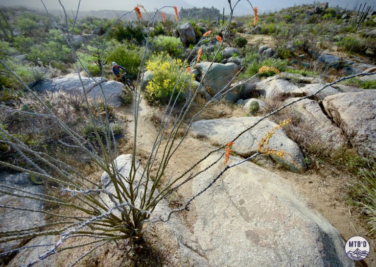
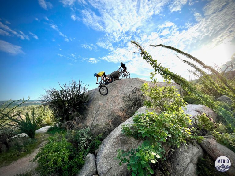
The first five miles are doubletrack — gnarly, rocky, relentless jeep road etched into mesa. This is where Porcupine Rim loses half its potential fans, and wins the other half forever.
The surface is chaotic enough that you’ll question your line constantly, yet wide enough to offer what most riders miss: choice. Lines split left and right. Drops hide just off the main corridor.
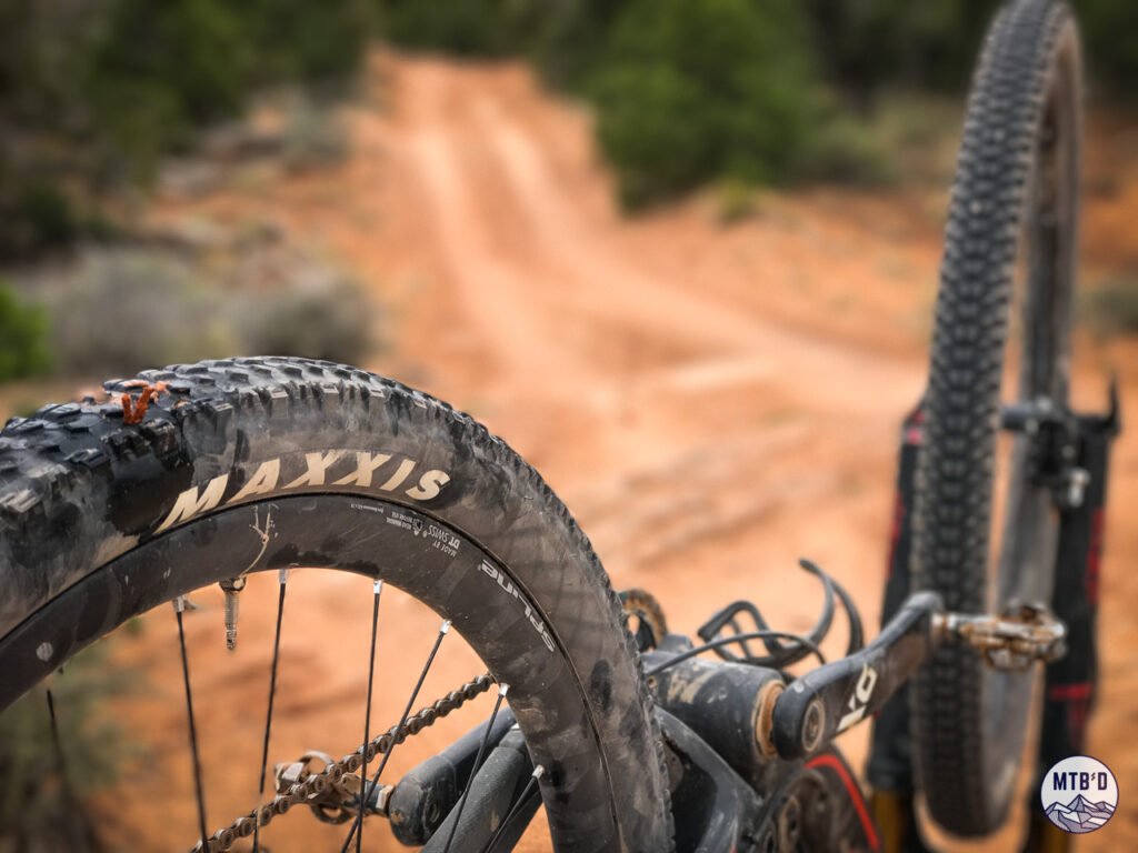
The freedom to pick your own imperfect path with no machine-cut berm telling you where to go, and the reality of living with the consequences of your choices.
Think of it like a road and it’ll earn every inch of a horrible reputation. Ride it like a trail and Porcupine Rim becomes a canvas.
Canyon Rim
Slowly, the views shift. A canyon beckons. The La Sals retreat.
The doubletrack turns to singletrack that turns its attention towards topography that decides to get serious. It’s not overly alarming but things start to catch your attention — one side desert, one side emptiness, a scar of technical trail mediating between the two.
Rock steps, off-camber moves, optional drops — stay alert. The trail tightens, the consequence rises, and the preceding miles of doubletrack reveal themselves as exactly what they were — an extended introduction.
A Reckoning
The bottom section near the Colorado is the final reckoning. Rocky, narrow, and steep. The kind of terrain that demands more focus just when it would be nice to let go.
Walk what needs walking. Send what deserves sending.
By the time the river beckons, you’ve covered enough ground and vertical to feel it but any relief comes tinged with melancholy. It’s over — will I do it again?
Porcupine Rim is one for the ages.
The Miles
The Rim Approach — Miles 0–1.5
Old jeep road along the edge of Castle Valley — one of the great expanses of the American West opening up to your right. Stop at the overlooks. Photograph everything. This is the only time on the ride you’ll have a vantage point quite like this, and you won’t know that until it’s behind you. Soak it up.
The Plateau Crossing — Miles 1.5–5.75
The trail bears west off the rim and follows the old 4×4 road out toward Coffee Pot Rock before trending northwest at mile 2.5. Ups and downs across eroded roadbed with plenty of line choices — this is where you settle into the ride and find your legs. At 5.75 the motorized route ends.
The Singletrack Transition — Miles 5.75–8
Here the trail becomes what you came for. Porcupine Rim singletrack works its way toward Jackass Canyon, staying on top of the plateau before turning south and beginning to drop. By mile 8 you’ve breached the canyon in earnest, crossed its drainage, and started hugging its southern wall toward the Colorado.
The Descent — Miles 8–11
Technical, consequence-laden in spots, and relentless fun — with the Colorado River laid out below you the entire way. Specific sections demand real attention. This is where the ride earns a signature reputation and where tired riders get honest feedback.
It ends at Grandstaff Canyon Trailhead when Porcupine Rim finally releases you to flat ground and the river.
Is It Worth It
Yes — for advanced riders who arrive knowing what Porcupine Rim is, not what they want it to be. Riders who understand old-school desert terrain and appreciate the freedom of unscripted lines leave wanting to do it again.
Skip it if you’re chasing something polished and predictable, new to Moab, or exposure near canyon edges isn’t your thing.
The Verdict
Porcupine Rim trail is a piece of MTB history, not built but adopted by mountain bikers, across one of the most dramatic landscapes on earth. Every single mile, doubletrack included, is part of an imperfect yet inspiring experience.
Set your expectations accordingly. This is not Whistler. This is Moab. You’re following the lines of generations of mountain bikers before you who decided — yeah, I’m gonna ride my bike down this.
Besides, the singletrack finish offer redemption for any jeep road vices. The feeling of rolling out on the Colorado with 3,000 feet of fresh descent in the bag, a storied rim to river drop-in, is for you to take home and never forget.
What to Know Before You Go
Shuttle to the top. This is a classic point-to-point descent — and most riders should treat it that way. Operators are waiting in Moab to give you a lift.
If it’s not enough, you don’t have to limit yourself to Porcupine Rim — go for the Whole Enchilada and make PR the closing act of a much bigger day.
Regarding Porcupine Rim on its own. Pace the plateau. The best riding comes last and demands whatever you have left.
Check conditions before you commit — the desert changes quickly; this isn’t a trail you casually undo.
Ready to Ride
We have a Moab Ride Guide that covers Porcupine Rim and Moab’s essential descents — vetted routes, GPX, and the tactical notes that make the difference.
[Get your Preview, Free →]