Mt. Lemmon Trails — Nine Thousand Feet of Gnar
There are many trails on Mt. Lemmon. Here is our lineup of the best mountain bike trails on Mt. Lemmon for mountain biking.
Mt. Lemmon Mountain Bike Trails
- Bug Springs Trail — the gateway descent. Two hike-a-bikes, one incredible overlook. Best intermediate+ entry point on the mountain.
- La Milagrosa Trail — the sting in the tail. Sustained chunk and consequence dropping to the valley floor. The Miraculous One doesn't give it away.
- Aspen Draw — at the top of the mountain. Tucson's best answer for a true "DH" trail, complete with a lift (that you can't ride).
- Incinerator Ridge — the chunkiest. If you want to head straight for the gnar, riding this is a good way to do it.
- Green Mountain — tougher work than it looks. Harder than Bugs, better than Incinerator.
- Molino Basin (aka Prison Camp) — social shuttle. Or one you can lap using the highway, good fun and the easiest part of the Lemmon Drop.
- Red Ridge — A backdoor plummet off the dark side of the mountain.
Mt. Lemmon Ride Reviews
- The Lemmon Drop — Tucson's 10k descent monster. One giant day.
Mountain Biking on Mt. Lemmon
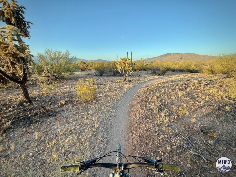
Mt. Lemmon's trail roster runs from glimpses of friendly trail to double black canyon descents. The key distinction is elevation — upper trails live in a completely different environment than lower trails.
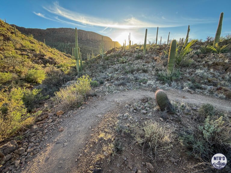
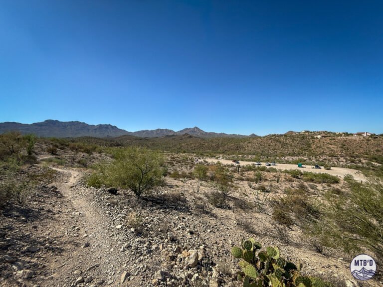
Aspen Draw is alpine. La Milagrosa is full Sonoran Desert. The Lemmon Drop links them all into one continuous descent from summit to city.
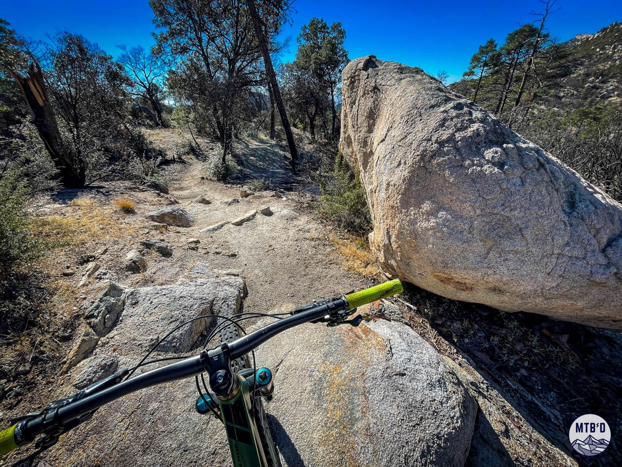
The chunk is relentless and the flow, when you find it, is fleeting and earned.
That's not a warning. That's the pitch.
What Mt. Lemmon Trails Actually Are
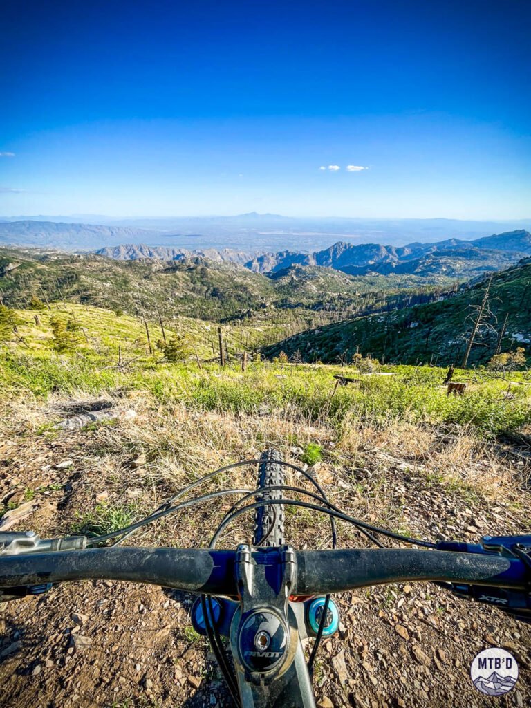
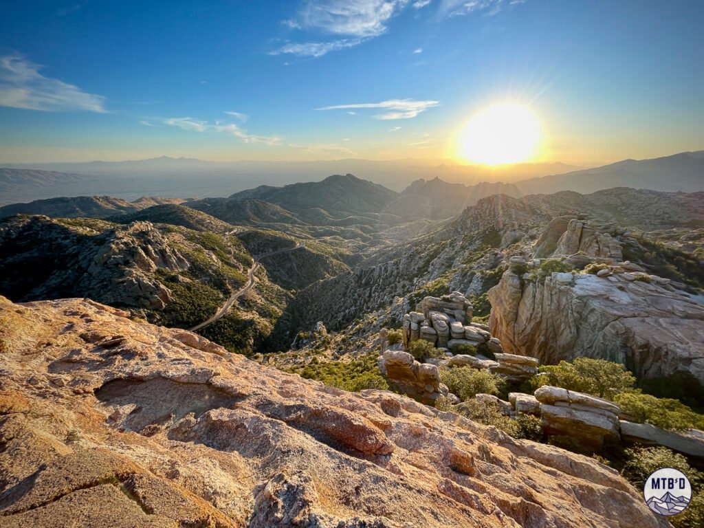
Rising to 9,171 feet above the Sonoran Desert floor above Tucson, Mt. Lemmon is a sky island — an isolated mountain ecosystem that passes through multiple climate and vegetation zones on the way up.
Descend from the summit to the valley and you pass through alpine forest, mixed conifer, oak woodland, chaparral, and full Sonoran Desert. Different geology, different light, different air.
The basic act of riding a mountain bike down it isn't just a ride. It's a mission.
What Mt. Lemmon Trails Are Like on a Mountain Bike
Mt. Lemmon trails didn't make their chunky reputation by giving people warm and fuzzy feelings.
Other destinations get the gushy treatment — the kind where every trail is "awesome" and every descent is "flowy" and the whole place is described like a dream you'd never want to wake from.
Lemmon doesn't even try. It's a hard mountain. The trails are hard. The features are hard. Even the approaches are hard. The right attitude is the probably most important thing a visiting rider can bring: come to experience a big rugged mountain, not beginner alpine trails.
But the highway up it is very nice and smooth and fast (in a car). And for mountain bikers that means everything, from top to bottom, is in play.
Rock, Rock, and More Rock
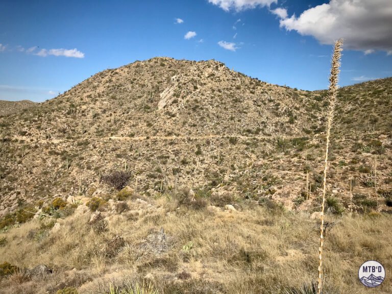
The geology tells you everything about what to expect on trail. The Santa Catalina Mountains are made of Precambrian granite and gneiss, angular and exposed, pushed up and sculpted over millions of years. That translates directly to chunk, ledge, slab, and embedded rock. Hence, no groomers here.
There is no machine-built flow (yet). What exists is what the mountain made and what hikers and then riders have worn in over decades of use.
Smooth sections exist but they are fleeting. Cherish them when you find them.
Logistics
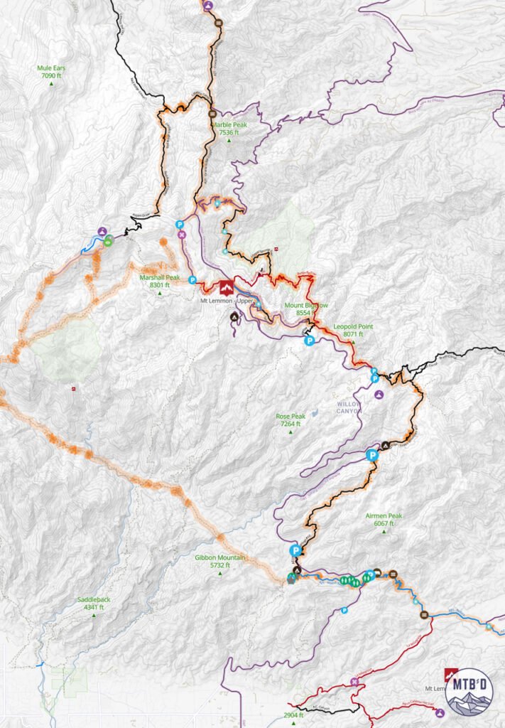
Multiple trailheads and parking areas line the Mt. Lemmon Highway (General Hitchcock Highway) from Tucson to the summit. Local shuttle operators run van services up the mountain — worth it for point-to-point descents.
In need of a bike? Check out our post on Tucson Mountain Bike Rentals and get yourself outfitted.
Riding up the highway is an option, has a workable shoulder, and you'll have lots of cycling company. But it's a big old climb.
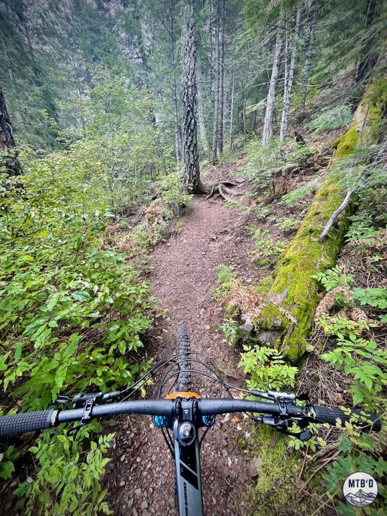
Best conditions: winter, spring, and fall at lower elevations, summer at upper elevations when valley heat makes lower Tucson trails unrideable. Winter brings snow to upper trails — check conditions before heading up.
The mountain's elevation inversion is its greatest asset. When Tucson hits 105°F in July, there's still nice riding to be had on the mountain.
Who Mt. Lemmon Trails Are For
Mt. Lemmon mountain biking is for riders with sophisticated palettes for chunk and consequence. Riders who want to experience a mountain, not just descend one. Riders prepared to walk the bike occasionally and not consider it a failure.
If you're pulling a seldom-used bike out of the garage and expecting groomed trails, Mt. Lemmon will disappoint you. If you bring MTB chops and the right attitude, you just might find a rhythm up there that gets inside and stays with you.
This mountain isn't for the meek. But for the mightier side of MTB, it offers real and rugged opportunity.
What's Coming: The Santa Catalina Trail Plan
The 2023 Santa Catalina Trail Plan — finalized after a two-year public process launched in the wake of the 2020 Bighorn Fire that scorched nearly 120,000 acres and significantly damaged the trail network — is the most significant development in Tucson trail planning in decades. Much of it addresses the Mt. Lemmon Trail Network.
For mountain bikers and Mt. Lemmon specifically the headline item is "Bug Junior" — a six-mile downhill-only directional advanced mountain bike route paralleling the existing Bug Springs Trail. If built, it eliminates the hike-a-bike sections that currently define the Bug Springs experience and opens the descent to a significantly wider range of riders. A downhill trail on the north slope of Mount Bigelow for intermediate cyclists is also proposed.
La Milagrosa is formally up for adoption under the plan. Adoption means Forest Service maintenance, which would see Millie gets more consistent care than it currently receives.
Mt. Lemmon is a mountain in transition. The chunk and consequence aren't going anywhere. But the access, the infrastructure, and the trail options are slowly, deliberately improving. Come now for what it is. Come back for what it's becoming.
See What's Coming. Ride the Good Stuff.
Get on-the-ground updates as trails transform and conditions change.
Don't fly blind in Tucson.