50 Year Trail Network: Tucson’s Ultimate Granite Playground
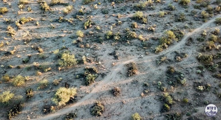
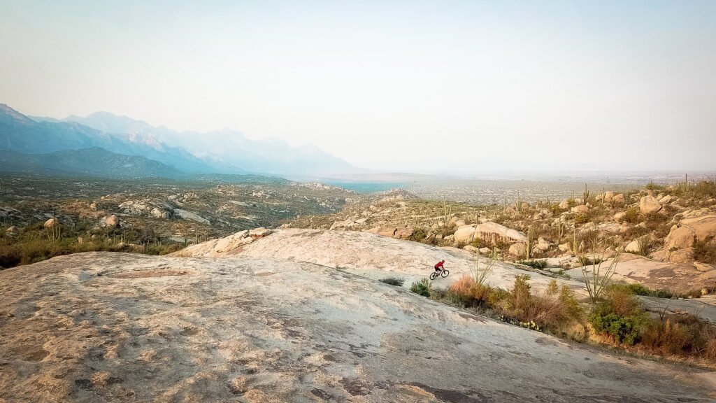
The 50 Year Trail Network (a.k.a. Golder Ranch) in Tucson is where riders come to measure up. Rolling lower trails transition into chunky granite corridors.
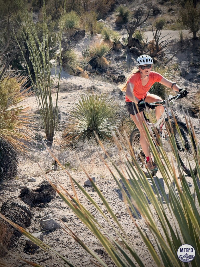
Massive slabs and boulders of desert granite create challenges of both the climb and descent variety. And the vegetation keeps getting more spikey.
This is the kind of trail network that makes you earn your post-ride beverage.
Granite Slabs, No Signs, Pure Tucson
Think progressively technical puzzles, natural features, and terrain that rewards grit, vision, and commitment.
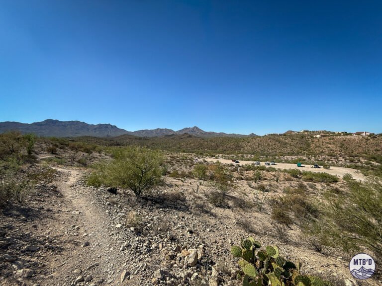
Located on the flanks of the Santa Catalina Mountains just north of Tucson, the 50 Year Trail Network blends raw high desert riding (starting around 3,000 ft) with surprisingly unique terrain. Intermediates push into increasingly advanced terrain. Advanced riders session large natural features.
Everyone gets back to the Golder Ranch Trailhead with a Sonoran story about a line they cleaned—or didn't.
Quick Stats, 50 Year Trail Network
Total Trail Mileage: 30+ miles of singletrack
Elevation Range: 3,000-4,500+ ft
Difficulty: Intermediate to Advanced (some beginner-friendly lower trails)
Surface: Granite slabs, embedded rock, technical singletrack
e-MTB Legal: Yes (State Trust Land), No (Coronado National Forest)
Trailhead: Golder Ranch Road (primary) or Catalina State Park (more distant from central MTB zone)
Permits: Arizona State Trust Land permit required if parking at Golder Ranch Trailhead
Distance from Tucson: 30 minutes north of downtown
The Good
✓ The Chutes descent — Tucson's most iconic descent: fast, flowy, natural luge run carved into ridgelines. If you only ride one trail in Tucson, ride this.
✓ Granite slabs and natural features — The 50 Year Trail Network has a trail actually called Cowboy Slickrock. This and others are playful, technical, sessional. Lines reward vision and commitment; there are multiple ways through most features.
✓ Progressive terrain — Beginners can stay low on cattle-cruised flats near the trailhead. Intermediates and advanced riders head deeper and higher for exposed slabs and technical climbs.
✓ Elevation transitions — Starting around 3,000 ft, you'll ride through classic Sonoran Desert (saguaros) into higher desert vegetation (junipers, piñons) as you climb. The ecosystem shifts feel dramatic.
✓ Endless route options — From 6-mile MTB-family cruises to 20+ mile epics, you can configure rides for any skill level or ambition. Multiple visits reveal new lines and combinations.
✓ Official trail building underway — USFS master trail plan for Coronado National Forest includes this area with focus on mountain biking. First official trail work happening now.
The Bad
✗ Navigation is challenging — Trails aren't marked, intersections are frequent, and it's easy to miss key turns or end up on unintended trails. First-timers get lost regularly within the 50 Year Trail Network. GPX file or local guide strongly recommended.
✗ Sustained rocky climbing — Getting to the good stuff requires technical climbing over embedded rock. Your fitness and bike handling both get tested, and it's relentless in sections.
✗ Technical shows up — Even the shorter options have embedded rock and can get narrow in sections. If you're looking for zero tech, this isn't your network. But this is a great place to start picking out lines, and it's progressive (big tech can be avoided)
✗ Permit required — Arizona State Trust Land permit ($15-20) needed for Golder Ranch access. Not expensive, but one more thing to remember. Catalina State Park also charges an entry fee.
✗ Exposed terrain — Little shade, especially on climbs. Summer riding (June-August) is tough midday. October-April is prime season. But... massive Sanmaniego Ridge to the east provides some early morning cover, and the higher you go the longer you can stay in its shadow.
The Dirty
→ A GPX file is worth having here — As mentioned above the 50 Year Trail Network has lots of ins, outs, and what-have-yous. Intersections are unmarked. Trails look similar. Terrain gets rugged. Be prepared.
→ Beginner trap — Lower trails are rideable for beginners, but the longer routes require intermediate-advanced skills. Don't underestimate the technical climbing.
→ Multiuser mecca — This is a home network for many Tucson locals including equestrians, hikers, and MTBers. Saturday and Sunday mornings (November-March) can feel crowded at the trailhead, but things spread out nicely on the trails. Ride early, late, or weekdays for solitude.
50 Year Trail Network Reviews
Key trails within the 50 Year Trail Network:
→ 50 Year Trail Review — The essential network artery (and still fun to ride)
→ Upper 50 Year Trail Review — Technical climbing that earns technical descending
→ The Chutes Trail Review — Tucson's most iconic descent (fast, flowy, natural luge)
→ Middlegate Trail Review — The best introduction to higher trails in the 50 Year network
→ Cowboy Slickrock Trail Review — Rounding up the best slickrock slabs on the range
→ Gem Trail Review — Steep and Sustained (for this neck of the woods)
→ Stone Cactus Trail Review — Baby Jesus and Cowpies combine for new magic
The Verdict
Perfect for: Intermediate to advanced riders who love technical granite features, sustained climbing, and unique route options. Anyone who wants to push their skills and come away with a sense of accomplishment.
Skip if: You're a beginner looking for confidence-building flow (try Sweetwater Preserve or Honeybee Canyon instead). You're visiting in summer and can't ride early mornings. You hate navigation puzzles and don't want to download GPX files.
When to ride: October through April (best). May and September early mornings (roll at dawn). Avoid June-August unless dawn patrol or night rides.
Bottom line: The 50 Year Trail is Tucson's quintessential network—granite slabs, The Chutes descent, technical challenges, and the kind of riding that makes stories. If you only ride one trail system in Tucson, this is a solid choice. Just bring a GPX file and don't underestimate the navigation.
See What's Coming. Ride the Good Stuff.
Get on-the-ground updates as trails transform and conditions change.
Don't fly blind in Tucson.